April 22, 2024
US Board of Names Corrects the Official Name of Neel Gap
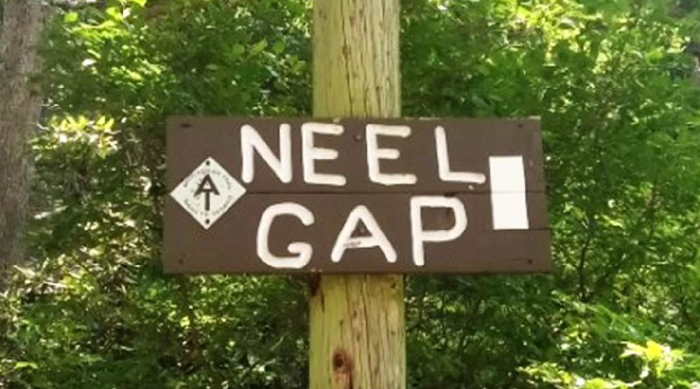
For more than 70 years, the low point of the ridge crossed by US Highways 19 and 129 between Dahlonega and Blairsville has been mistakenly called Neels Gap instead of Neel Gap. But on April 12, the Board of Geographic Names, which is part of the U.S. Geological Survey, corrected the place name to Neel Gap.
The federal government’s official decision culminates a year of work by Georgia Appalachian Trail Club member Jordan Shenefield to correctly honor W.R. Neel, the man for whom the gap is named. Shenefield’s effort began back in January, 2023, when he wrote an article for the GATC newsletter, The Georgia Mountaineer, article entitled “Is It Plural or Possessive? Actually, Neither!” and a Facebook post with information about the name Neel Gap.
Since the road was built, common usage, several maps and guidebooks, and many other people referred to the place as Neel Gap, but the official name was Neels. At Shenefield’s urging, the GATC Board of Directors in March passed a resolution endorsing the name change to Neel. He then sought support from other organizations and submitted the request to the Board of Geographic Names.
The story of Neel Gap involves some interesting Georgia history and is also connected to the Appalachian Trail, which passes through the gap. In 1919, the Georgia General Assembly created the State Highway Board, and Warren Rabun (W.R.) Neel, who had served as the Secretary to the original State Highway Commission, was named the first State Highway Engineer, a post he would hold for 10 years. Neel would also be the last professional engineer to serve as head of the Georgia Highway Commission (today it is the Georgia Department of Transportation, also known as GDOT) .
As State Highway Engineer, Neel was the surveyor who plotted the road that climbs from Turners Corner, over the gap now known as Neel Gap and down to Vogel State Park. Today this road is identified as US Highways 19 and 129. When Neel surveyed the route for the road, the divide in the mountain range was called Frogtown Gap from the Cherokee name Walasi-Yi, or home of the great frog. Frogtown Creek rises up just north of Neel Gap.
In the 1930s, the Civilian Conservation Corps (CCC) built the rock building at Walasi-Yi, which now houses the famous Mountain Crossings store, an outfitter well known to thousands of Appalachian Trail hikers. The stone arch in the building is the only place along the 2,197-mile Appalachian Trail where the treadway passes through a man-made structure.
Before the road was built, Union and Towns Counties were separated from the rest of the state by the rugged Blue Ridge Range of the Appalachian Mountains. There were turnpikes in the area of Neel Gap, but they were toll roads and north Georgia farmers did not want to pay extra to haul their goods to market in Gainesville and Atlanta. Around 1922, Neel began work to provide better access to the remote northern counties. From her recollections published in the Union Sentinel in 2005, Ethelene Dyer Jones wrote, “in the summer of 1925, a soil-surfaced road 14 feet wide was completed (across Neel Gap). In 1926 macadam was applied and paving became a reality for the central nine feet of the roadway. Four feet of crushed stone paved the shoulders, providing passing room on the one-lane road.”
Despite recommendations from the Chief Forester of the Chattahoochee National Forest, several state officials (Department of Natural Resources and GDOT), a plaque with the correct name placed at the gap in 1925, and a letter from Neel himself, in 1950 the Board of Geographic Names decided to call the divide Neels Gap.
Since then, the gap has been referred to as Neels, Neel’s and Neel by hikers, motorists and various organizations.
Appalachian Trail Club Vice President of Trail Management Hawk Metheny wrote a letter to the Board on Geographic Names to correct the name Neel Gap, saying “The Appalachian Trail (A.T.) passes through Neel Gap and it is the world’s longest hiking-only trail and the first trail designated a National Scenic Trail by the U.S. Congress in 1968. While some may continue to incorrectly refer to this location as Neels Gap, ATC endorses the correction of the name to Neel Gap. ATC already uses the Neel Gap nomenclature in its publications and maps because of the history of the location: Walasi-Yi, the road crossing by the A.T. of US 19/129, and the significance of state highway engineer, Mr. W.R. Neel, to that road.”
As part of the supporting documentation for the name change, ATC Southern Regional Director Andrew Downs wrote, “When hiked northbound from the southern terminus of the A.T. on Springer Mountain Georgia, Neel Gap is the first major road crossing for hikers. There is a store at Neel Gap (Mountain Crossing at Walasi-Yi) that is an important hostel and resupply point for thru-hikers headed to Baxter Peak, Katahdin, ME, the northern terminus of the A.T. Hikers create strong memories of this place because they have achieved their first major objective – Neel Gap. As Southern Region Director and involved with the local A.T. club, getting the name of this first big memory (Neel Gap) right is important.”
The GATC board of directors resolution in March 2023 endorsing the name change, stated: “Whereas, in 1919, when the Georgia State Highway Board (predecessor of the Georgia Department of Transportation) was created, the Board chose W.R. Neel to be first State Highway Engineer, And whereas, Mr. Neel surveyed a new road to be built from Dahlonega to Blairsville across an area called Frogtown Gap, And whereas, Frogtown Gap is known by the Cherokee word Walasi-yi, meaning place of the Great Frog, And whereas, the Appalachian National Scenic Trail (A.T.) crosses the road that W.R. Neel surveyed and later oversaw the building of the road at Walasi-yi, at that time also known as Frogtown Gap,…GATC requests that USGS Board of Geographic Names correct the official name of this area to be Neel Gap.”
With support from Union County Commissioner Lamar Paris, the Union County Historical Society, Appalachian Trail Conservancy, and North Georgia Mountains Authority, the Georgia Appalachian Trail Club continues to preserve the history as well as protect the treadway of the Appalachian Trail.